Europa Challenge 2016 - gvSIG Online and Web World Wind the solution for Spatial Data Infrastructures on Open Source software with 3D View » History » Version 1
Version 1/6
-
Next » -
Current version
Joaquín del Cerro Murciano, 08/26/2016 03:17 PM
gvSIG Online and Web World Wind, the solution for Spatial Data Infrastructures on Open Source software with 3D View
.h2 Demos
WorldWind in gvSIG Online: https://youtu.be/Pbt2in-vJrc
Webinar about gvSIG Online: https://youtu.be/mM6QPZmg92M
.h2 gvSIG Online
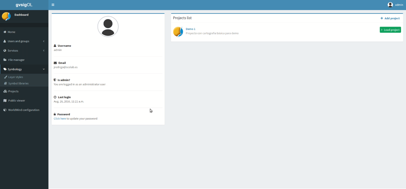
gvSIG Online is an integral platform for the Spatial Data Infrastructure (SDI) implementation, 100% open source software. A fast and powerful solution for start up the infrastructure necessary to manage spatial data in an organization in an efficient way. With gvSIG Online you will be able to share your geographic information at the cloud, create maps and applications thanks to the easy and powerful system administration tools.
In this project we have developed the integration with Web World Wind...and the results are amazing!!
.h2 gvSIG Online: open souce, SDI and Smart Cities
In the 21st century technology has been playing, and have to play, a key role in improving public policies. Cities are abandoning the analogic world and, in order to be intelligent, they have to exploit technology. More than 80% of the information handled by a municipality are geographically located: infrastructures, artistic heritage, parks and gardens, socio-economic components, investment … everything is or can be spatially represented. Spatial Data Infrastructures, therefore, constitute a backbone connecting everything is a Smart City.
gvSIG Online is result of the experience accumulated by the gvSIG Association at the Spatial Data Infrastructure projects implementation of all types and in any sector, from petrol companies to local administrations.
But, what is gvSIG Online? We can define the product in a few lines…
gvSIG Online is a free platform for the implementation of Spatial Data Infrastructures, comprising a database, a map server, a geoportal and a dashboard for the management of the Spatial Data Infrastructure. There are no license fees for these solutions, significantly reducing the cost of SDI-related work. These solutions also ensure technological independence, allowing anyone in the SDI community to maintain full control over their solution technology.
And...in this platform could not miss a 3D View (WorldWind).
Finally an alternative to Arc*** Server/Portal proprietary solutions! More than a map publisher… gvSIG Online is a complete platform for SDI.
In a few months gvSIG Online has been implemented in several organizations, like International Union for Conservation of Nature (IUCN), the Spanish Cultural Heritage Institute (IPCE), the Tourism Secretary in Mexico (SECTUR), LocalStats project in Cyprus….
.h2 Sources
Sources: https://mega.nz/#!Yoo1HS5C!w2IwP-Jpjz2cULTcV-8669E2uS9gZFIQYJYRD4fnCvc