gvSIG bugs #4325

GeoJSON file is not correctly load by the OGR driver
| Status: | New | % Done: | 0% | |
|---|---|---|---|---|
| Priority: | Normal | Spent time: | - | |
| Assignee: | - | |||
| Category: | Document view | |||
| Target version: | - | |||
| Severity: | Minor | Add-on version: | ||
| gvSIG version: | 2.3.0 | Add-on build: | ||
| gvSIG build: | Add-on resolve version: | |||
| Operative System: | Add-on resolve build: | |||
| Keywords: | Proyecto: | |||
| Has patch: | Hito: | |||
| Add-on name: | Unknown |
Description
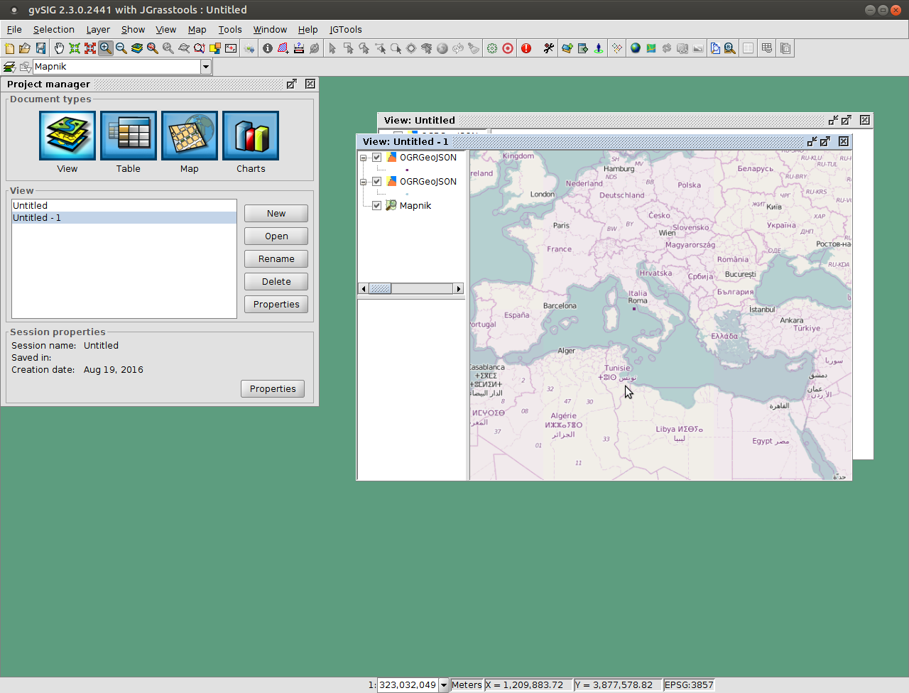
I've tried loading a simple GeoJSON point file using OGR driver.
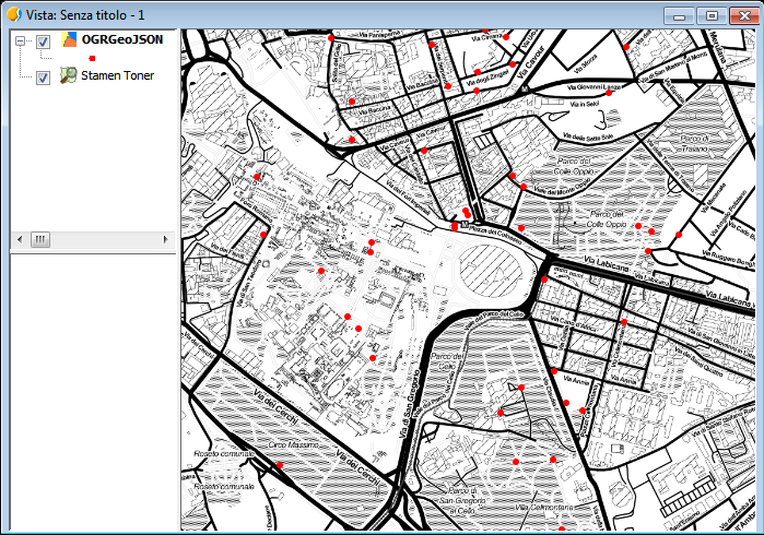
The layer is loaded and the attribute table can be correctly seen, but all the features are drawn in the same (wrong) location.
The GeoJSON file has been generated from OpenStreetMap using Overpass Turbo service.
export.geojson (13 KB)
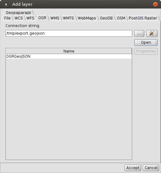
geojson.png (261 KB)
ogrparams1.png (17.1 KB)
geojsonresult.png (364 KB)
gvSIG.log (139 KB)
gvSIG.log.1 (512 KB)


History
#1
 Updated by Antonio Falciano over 9 years ago
- File geojson.png added
Hi Cesar,
which build are you referring to? I've loaded the export.geojson file in the RC2 (win-x86_64) successfully. And it seems that all the features are georeferenced correctly. See the screenshot in attachment.
#2
 Updated by Cesar Martinez Izquierdo over 9 years ago
- File gvSIG.log.1 added
- File gvSIG.log added
- File geojsonresult.png added
- File ogrparams1.png added
Hi Antonio, I am also using RC2 (linux 64 bits, Ubuntu 16.04 version).
I've tried loading the layer on a view using EPSG:4326, then also on another view using EPSG:3857 for the view and EPSG:4326 for the layer, with same result (a single point is drawn, or better: all the points are drawn in the same position).
#3
 Updated by Álvaro Anguix about 6 years ago
- Category set to Document view